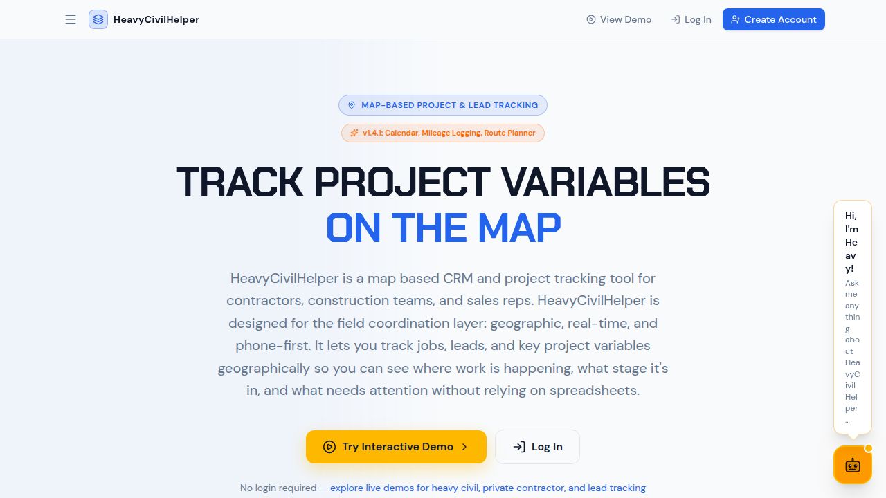
Map-based construction project tracking for civil contractors
HeavyCivilHelper organizes every RFI, directive, submittal, change order and field photo by its location on the project map so the whole team knows what's open, where the risk is and what needs attention next.
Built for field teams, not office software
- Track RFIs and submittals on the map — Every field question and material approval is pinned to the station where it matters. See open RFIs by location, not by log number.
- Log directives immediately from the field — When the owner tells you to proceed on a change, log it at the location with a date, photo and description. Your change order documentation starts at that moment.
- Custom pin categories for anything on your project — Build your own pin types beyond RFIs, submittals and directives. Name a category, pick a color and icon, define the status workflow, then add a checklist template. Track inspections, utility locates, potholes, equipment or anything specific to your project.
- Polylines and drawn lines on the map — Draw lines directly on the map to mark lane closures, haul routes, corridor limits, utility alignments and detour paths. Lines live alongside your pins so the spatial context stays in one view.
- Zones and Work Zones with AI context — Draw boundaries on the map to define project limits, territories or any named area. Mark a zone as a Work Zone and your AI assistant gains full context of everything inside it: records, pins and open items. Ask what's happening in plain English and get a real answer.
- AI assistant Heavy with full project context — Heavy is your project-aware AI assistant with full access to your records, map data, plan sheets and reports. Ask it what's open, what's overdue or what's costing you money and get a plain English answer backed by your actual project data.
- AI risk reports in seconds — One click generates a project summary showing overdue items, cost exposure by type and a contractor risk read. The output is formatted for sharing with an owner or PM.
- Plan sheet overlays — Reference the design drawings in the same view as your field pins. Attach specific sheets to the structures or zones they cover.
- Designed for phones — Full-screen map on mobile. One-tap status updates. Photo attachments in seconds. Works for the foreman who has never used project management software.
Who uses HeavyCivilHelper
- Heavy civil and public works contractors — Road, utility, bridge and drainage work. All of it geographic, all of it benefiting from a map-based project view.
- Home improvement sales teams — Roofing, solar, gutters, canvassing. Track leads at addresses, manage territories and follow up from the field.
- Small contractors and owner-operators — Asphalt, concrete, paving, landscaping. No per-seat pricing, no enterprise overhead, no training required.